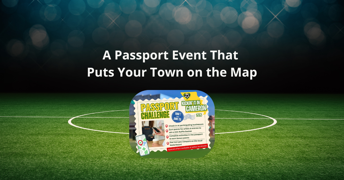
.png)
This map was built with Proxi — the interactive map platform for communities, organizations, and curious people everywhere. Want to build your own map? It is free to get started.
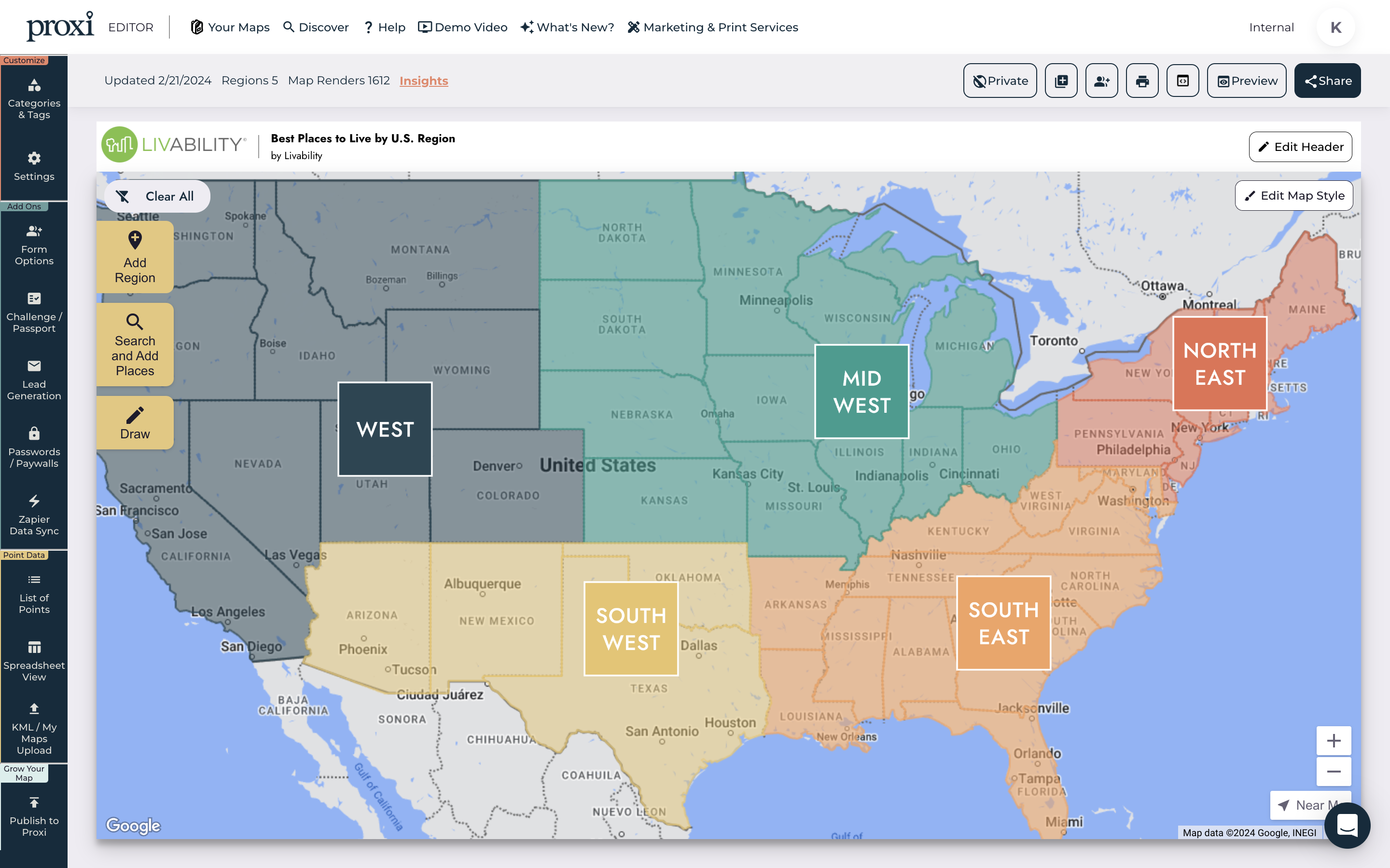
Google Maps is a powerful tool for mapping and navigation, but other interactive map makers may be comparable or even superior to it.
While everyone is familiar with Google Maps, it's not necessarily the most user-friendly tool, particularly if you're trying to customize a map. Learn how to get the most out of it with these tips.
How To Draw A Line Or Shape And Edit It On Google Maps
With Google's My Maps, you can draw lines and shapes to highlight landmarks or boundaries, plan routes, and more. Following these instructions will allow you to create lines on Google Maps:
- Type mymaps.google.com into your browser. A password and username are required to access My Maps if you are not already logged in;
- Visiting mymaps.google.com when logged in to your Google account will bring you to a page with options. Select, " Create A New Map" from the menu;
- In the fields on the upper left side of the page, you may give your map a title and a brief description. You can share maps publicly later or keep them private;
- Use the line tool by selecting the corresponding icon (a zig-zag line) at the top of the page. Select a starting point to begin drawing on your map and drag your mouse to create a line from it. You may keep clicking on more map points to extend the straight line or draw shapes (such as drawing polygons). Double-click your last map point to close the line-drawing tool;
- When you hover your mouse over the line, it turns white, and a dialogue box appears when you click on it. This dialogue box will calculate the distance for you and provide you with four additional options: Delete Place, Add Image Or Video, Edit, and Style. Click on Style to modify the line's color and width.
How To Create Custom Routes On Google Maps
Use My Maps if you want to plan your route in advance and access it when you're away from WiFi or out of mobile data. You may plot the journey precisely how you want and show other people your unique itinerary. When planning an individual trip, Google Maps is by far the most popular tool.
However, you should also be aware of and prepared to work around its restrictions. If you are a tourist, drawing the route is okay. However, if you plan on utilizing it for a service that makes several deliveries, you should look at other possibilities.
- Select the curved arrow icon (located under the search bar) to “Add Directions;”
- When you do this, a new layer appears on the left. Select "Driving" to switch modes of transportation;
- Type your current location (point A) and desired location (point B) into their respective boxes;
- Click Add Destination to keep adding stops on your master route. You may add a new layer by clicking Add Directions, allowing you to generate more routes; and
- Click and drag anywhere along the blue line to alter the path. One should zoom in for more accuracy.
How To Draw A Radius On Google My Maps
You may create a radius on Google Maps for various reasons, the most apparent being that you own a small company and need to set the maximum allowable driving distance from your office. Anything from providing a service to a community, like installing attic insulation, to delivering baked goods.
You want to avoid being in a bind financially because you've had to travel more than is practical. Creating a radius on Google Maps is doable, but you may want to utilize a third-party tool. Some users may be surprised to learn that Google Maps lacks a straightforward radius drawing option.
With KML4Earth, you can draw a radius in Google Maps. You should proceed as follows:
- Use Google Maps to find the map marker you need to enclose with a circle. Click on the map marker and copy the coordinates of the longitude and latitude to your clipboard;
- Use KML4Earth to build the radius. After noting the latitude and longitude, enter them here and the radius size you want to draw;
- Select Circle Generator. In doing so, a KML file will be generated and saved to your desktop or laptop. You may see geographical data using a KML file;
- Go back to Google Maps;
- Choose to Create A New Map;
- Select Add Layer, then Import from the menu on the left;
- Import the KML file you made before;
- When you're finished, you may download your file, share a link, or add it to your website through an embed code.
Why You Might Want To Create A Route Or Draw Lines On Google Maps
Google Maps is a fantastic resource that has opened up the globe to us. We have the information we need to navigate anywhere on Earth, thanks to Google Maps. There are a lot of cool things about the ability to draw on Google Maps.
You can show running routes on pathways to help guests or event attendees find event locations and display areas, like parking or large land lots. You can show everything within a particular walk or travel time, or you can show a service or delivery area. The opportunities are endless!
Connect the places you go to most often or want to visit by drawing lines between them. You can visualize the whole length of your journey this way, including any shortcuts that may not be visible on regular Google Maps navigation.
More Than Just Maps – Discover Proxi!
Looking for something beyond Google Maps? Proxi might be just what you need! With powerful drawing tools, radius options, and customization features, Proxi lets you create highly personalized maps, whether you're making a store locator, event map, or travel guide. Why settle for standard when you can make your maps truly your own?
Give Proxi a try and see how a custom map can add value and creativity to your projects!
Adventure Awaits!
Check out some of the latest articles on our blog