If you’ve ever built a form in Typeform that asks for an address or location, you’ve probably realized something frustrating. You can collect the data beautifully, but you can’t actually see it on a map.
Typeform is great for creating interactive forms and surveys, but it has no built-in way to visualize location-based responses. That means if you ask “Where are you located?” or “Which neighborhood are you from?” you end up with a list of text entries instead of a visual map that shows where respondents are.
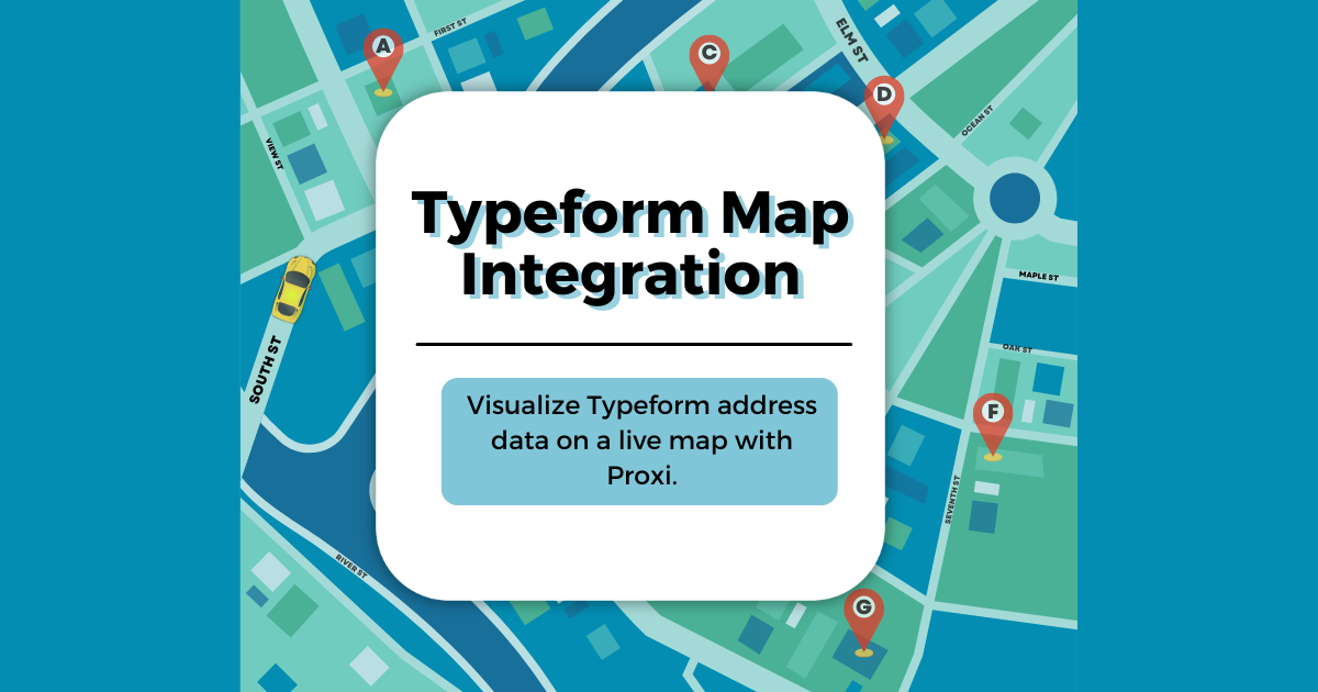
The good news is that you can solve this quickly by sending your Typeform responses to Proxi, an easy-to-use mapping platform that turns location data into interactive maps. In this guide, you’ll learn how to use Typeform’s webhooks to automatically send responses from Typeform into Proxi, so you can instantly view, share, and filter your data on a live map.
Why Typeform Users Struggle with Location Data
Typeform’s design is clean and flexible, but it’s not built for location visualization. Even though you can add an address field to your form, the results are only available as text.
Here’s what that means in practice:
- You can’t plot those addresses on a map inside Typeform.
- You can’t add an interactive map question where people drop a pin or choose their location.
- You can’t restrict form access based on a user’s location.
- You can’t visually explore geographic patterns in your responses.
If your goal is to understand where people are—from which cities customers come, where survey respondents live, or how events are distributed across a region—Typeform alone won’t get you there.
That’s where Proxi comes in.
What Proxi Does That Typeform Doesn’t
Proxi turns data that includes addresses, zip codes, or place names into beautiful, interactive maps that you can embed, share, or print. You can import spreadsheets, crowdsource points, or connect live data sources using integrations and webhooks.
When you send Typeform data to Proxi, every new response automatically becomes a new point on your map. Each point can include any other data from the form—names, categories, notes, links, or photos. You can customize your map’s look, organize points by category, and filter to find insights visually.
With Proxi, you’re not just collecting data. You’re visualizing it in a way that helps you tell a story or make better decisions.
Common Workarounds (and Why They’re a Hassle)
Before we dive into the best solution, let’s look at how some Typeform users try to work around this limitation.
- Copying Typeform data into Google Sheets
Many people integrate Typeform with Google Sheets, then use an add-on or Google Maps API to geocode and display the data. This can work, but it requires technical setup, API keys, and constant maintenance. - Using a custom HTML page with JavaScript
Developers sometimes create a separate web page that grabs the user’s browser location and passes it into a hidden Typeform field. It’s clever, but it only works if you can host your own code and manage privacy permissions. - Manually uploading CSV data into mapping software
This is the most common approach. You export your Typeform results, clean up the address column, and then import it into another platform. But it’s not real-time and has to be repeated every time new responses come in.
All of these options take extra time and technical know-how. None of them are smooth for non-developers.
That’s why Typeform + Proxi webhooks is the best way to go.
How Webhooks Bridge Typeform and Proxi
A webhook is a simple connection that sends data from one app to another the moment something happens. In this case, every time someone submits your Typeform, their data is automatically sent to Proxi.
Instead of waiting to export results or syncing through a spreadsheet, Proxi instantly receives the response and adds it as a new map point.
Here’s what happens behind the scenes:
- Someone fills out your Typeform and includes an address or location.
- Typeform triggers a webhook that sends the data to Proxi.
- Proxi reads the address field, geocodes it, and plots the point on your map.
You’ll open your Proxi dashboard and see a map that updates in real time as new responses come in.
Step-by-Step: Connecting Typeform to Proxi
You can complete the setup in less than 10 minutes.
Step 1: Create Your Proxi Map
Start by logging into Proxi. Click “Create New Map.” Choose a theme, set your categories, and add any default information you’d like each point to have—such as name, description, or tags.
Once your map is created, you’re ready to enable webhook connections.
Step 2: Enable API Automation and Integration in Proxi
To allow Proxi to receive data automatically, open the Apps section in your account.
Activate the app called API Automation and Integration.
This unlocks your Proxi webhook URL, which is a unique link that Typeform will send responses to. Copy this URL and keep it handy for the next step.
Step 3: Set Up Your Typeform Webhook
Now, go back to Typeform.
- Open your form.
- Click Connect in the top navigation.
- Scroll down to Webhooks.
- Add a new webhook.
- Paste in your Proxi webhook URL.
- Turn the webhook ON.
That’s it. Every new Typeform submission will now send data to Proxi.
Step 4: Test Your Integration
Submit a test response in Typeform.
Include a full address in your address field—street, city, and state.
When you check your Proxi map, you should see a new point appear automatically. If it doesn’t, verify that:
- The webhook in Typeform is active.
- The address field in your form matches what Proxi expects.
- The API Automation app is turned on in your Proxi account.
Step 5: Customize How Your Data Appears on the Map
Once your points are appearing, you can customize your map.
- Edit color schemes and map style.
- Add photos, or descriptions.
- Enable or disable point approval before publishing.
If your Typeform includes multiple questions, you can map responses to different Proxi data fields. For example, you can display “Business Name” as the title and “Address” as the location.
Tips for Collecting Better Address Data in Typeform
To get the best map results, pay attention to how you structure your Typeform fields.
1. Use the Address Question Type
Typeform’s built-in address field asks for street, city, and country in separate boxes. This makes it easier for Proxi to geocode the data correctly.
2. Make the Field Required
If you want every response to appear on your map, make sure the address field is required.
3. Avoid Free-Form Location Questions
If you ask “Where are you located?” as a short text question, people might respond inconsistently. The address field ensures standardized results.
4. Include a Description to Guide Respondents
Add help text like “Please enter your full address or the nearest cross streets.”
These small details make your data cleaner and more accurate once it reaches Proxi.
Sharing Your Map Once It’s Live
Once your Typeform responses start populating your Proxi map, you can share it publicly or privately.
To share your map:
- Open your map in Proxi.
- Click Share.
- Choose your preferred settings. You can:
- Make your map public and share a link.
- Embed it directly on your website.
- Generate a QR code for print materials.
- Use password protection if you want to keep it internal.
Proxi maps are fully responsive, so they look great on desktops, tablets, and mobile devices. You can also print your map or export data for reports.
Examples of How Teams Use Typeform + Proxi
This integration unlocks endless possibilities for visual storytelling and community engagement.
Here are a few examples:
- Customer Locations: Businesses collecting customer addresses through Typeform can instantly see where their customers are concentrated.
- Event Check-ins: Event organizers can collect participant addresses and show where attendees are traveling from.
- Community Input: Nonprofits can crowdsource feedback on locations, such as “Where should we plant new trees?” and display responses on a map.
- Project Submissions: Chambers of commerce can visualize which local businesses submitted forms or nominations.
In each case, the ability to see addresses plotted visually changes how teams interpret and use their data.
Frequently Asked Questions
Does Proxi automatically geocode addresses?
Yes. Proxi reads the address field from your Typeform response and automatically finds its coordinates for mapping.
Can I add non-address data to the map too?
Absolutely. You can include fields like category, website, description, or any other data collected in your Typeform.
Is coding required?
No. Once your webhook is connected, the process is automatic and no coding knowledge is needed.
Why Proxi Is the Best Way to Visualize Typeform Data
When you use Proxi with Typeform, you get:
- Instant visualization: See new submissions on your map in real time.
- Beautiful, branded design: Customize your map’s look and feel.
- Live sharing: Embed maps on your website or share by link.
- Interactive engagement: Viewers can click points, explore categories, and filter data.
- Automation: No manual exports or spreadsheets required.
Proxi turns static Typeform responses into interactive experiences that help you see your data in context.
Typeform is an excellent tool for collecting information, but it stops short when it comes to showing you where your respondents are. With Proxi, you can bridge that gap.
By connecting your Typeform through a simple webhook, you can automatically send every address response to an interactive, shareable map. No manual uploads, no scripts, and no coding required.
Whether you’re a marketer visualizing customer reach, an event organizer mapping attendees, or a community builder gathering ideas, Proxi helps you see your data come to life.
Start by creating your first Proxi map and activating the API Automation and Integration app. Then connect your Typeform webhook and watch your data transform from a list of addresses into a dynamic, interactive map.
Try it today at Proxi.co.
Adventure Awaits!
Check out some of the latest articles on our blog