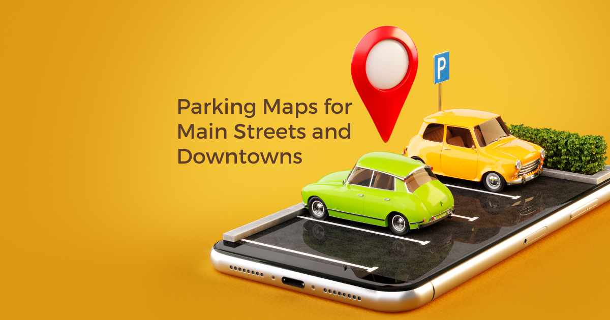
Why Detailed Parking and Street Closure Maps Matter for Downtown and Main Street Organizations
For downtown organizations and Main Street programs, parking confusion is one of the fastest ways to lose a visitor. It’s not just about where to park. Visitors want to know how much parking is available, what type of parking it is, and whether streets are open when they arrive.
Clear parking and street closure maps help set expectations, reduce frustration, and make downtown easier to navigate.
Parking Space Counts Matter More Than You Think
Knowing how many parking spaces are available can significantly change visitor behavior. Parking maps that include space counts help visitors choose larger lots or ramps during peak hours, avoid streets with limited parallel parking, and feel confident that parking will be available.
For example, labeling a parking ramp as “300+ spaces” versus a side street with “12 parallel spaces” helps visitors self-distribute and reduces unnecessary circling.
Show Parking Types Clearly (Ramps, Lots, and Street Parking)
Downtown parking is rarely one-size-fits-all. Effective parking maps clearly indicate what type of parking visitors can expect, such as parking ramps or garages, surface parking lots, parallel street parking, and accessible (ADA) parking.
When people know what they’re pulling into ahead of time, their downtown experience starts on a better note.
A Simple Parking Taxonomy for Downtown Maps
A clear taxonomy makes parking maps easier to understand and easier to use.
Categories
Parking Ramp / Garage
Surface Parking Lot
Street Parking
Tags
Number of spaces (e.g., 25 spaces, 100+ spaces)
Free parking
Paid parking
Time-limited parking
ADA accessible
Event-only parking
Using tags allows visitors to filter the map and quickly find parking that fits their needs, especially during busy events or construction periods.
Combine Parking Maps with Street Closure Information
Street closures are common for festivals, markets, parades, and construction. When parking maps also show street closures and access routes, downtown organizations can reduce visitor confusion, highlight the best parking options for closed streets, and keep traffic flowing smoothly.
One map that shows parking and closures together is far more effective than multiple PDFs or scattered updates.
How Easy It Is to Build a Parking Map in Proxi
Creating a parking map in Proxi is fast and flexible, even without technical experience.
Downtown and Main Street teams can double-click anywhere on the map to add a parking location, or manually enter any latitude and longitude. Entire parking lots or garages can be outlined by drawing shapes directly on the map instead of relying on a single point.
Each parking location can include details like parking type, number of spaces, time limits, and notes, along with tags that allow visitors to filter by ramps, lots, ADA access, free parking, or event-only parking.
For visitors, every parking point includes one-tap Google Directions, making it easy to navigate directly to the best option from their phone.
And when something needs to be shared offline, Proxi maps are printable, so the same parking map can be embedded on a website, linked in emails, or printed for storefronts, visitor centers, and event signage.
The Takeaway for Downtown and Main Street Programs
Detailed parking maps that include space counts, parking types, filterable tags, and street closure information help visitors arrive with confidence. When parking is easy to understand, people are more likely to explore, stay longer, and support local businesses.
For downtown and Main Street organizations focused on revitalization and placemaking, clear parking information is essential infrastructure, not an afterthought.
Adventure Awaits!
Check out some of the latest articles on our blog
.png)