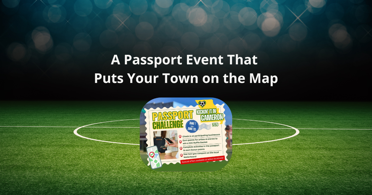
This map was built with Proxi — the interactive map platform for communities, organizations, and curious people everywhere. Want to build your own map? It is free to get started.
It is undeniable that maps are among the most outstanding achievements of humans, allowing individuals from all corners of the globe and all walks of life to learn about and make sense of the world around them. Historical maps provide a window into how people of the past saw the world, how those views changed over time, what it meant to them artistically, and how mapping itself developed.

Eratosthenes' World Map
Eratosthenes (276-194 BC) produced a more accurate map of the globe that included the results of Alexander the Great and his successors' military expeditions. With his newfound appreciation for Asia's true proportions, the continent seemingly grew in width. Because of his grasp of the Earth's spherical form, Eratosthenes was also the first geographer to include parallels and meridians in his maps.
In his three-volume book Geography, he not only surveyed and documented the whole globe to which he had access at the time, but also classified the planet into five distinct climatic zones, two of which were characterized by extreme cold and the others by moderate temperatures. As a result of his efforts, geography was a new concept. He coined a lot of terms that are still in use today.
Through the use of grids of intersecting lines, he mapped out the world. He connected all points on Earth by drawing parallels and meridians between them. People can use this network to calculate their distance from the farthest places on Earth's surface. Never before has so many city names and their geographic locations been shown in a single geography.

Babylonian World Map
The Imago Mundi, a map created in Babylon, is often regarded as the world's first surviving geographical representation. Sometime in the fifth century BCE, this map was created. This piece of ancient Babylonian cartography was discovered near Sippar in southern Iraq. The clay tablet on which this map is etched was unearthed north of ancient Babylon, on the prosperous eastern bank of the Euphrates.
The city of Babylon serves as a focal point for this map, which depicts the world and the skies from the Babylonians' point of view. For thousands of people, Babylon was the hub of their world; without satellites, map-making tools, or dependable long-distance transportation, this was their only view. This small tablet, as unfinished as it may be, reveals their worldview and thoughts about the world.
A total of seven cities and seven islands encircle the city of Babylon on this map, with two concentric rings depicting bodies of water that may have been in the area at the time. A cuneiform inscription at the tablet's top provides names for the many locations shown; for example, a salt sea and a river of bitter water are indicated by their respective names.

Peutinger Map
In addition to depicting the Roman Empire, the Peutinger Table includes other countries and territories. It begins in what is now Spain and extends all the way east until it reaches the Indian peninsula and Sri Lanka. The whole habitable world is covered, and details about each route are provided.
Cities, rivers, and oceans, as well as other geographic features, are drawn to scale and colored in rich detail. Hospices and centers, where riders may stop for supplies and repairs, are also marked on the map. Everyone embarking on a lengthy trip needed to know this critical information. You can also find the hot springs and ports used for trade across the Mediterranean.
Rome is the epicenter of all this splendor. Rome is the world's capital to which all roads lead, and its symbol is a throned figure holding a shield, a spear, and a globe. Although shown as smaller than Rome, two eastern cities—Antioch and Constantinople—are also given much attention.
Fascinatingly, the towns of Oplontis, Herculaneum, and Pompeii are shown, all of which were obliterated by the lava flow from Mount Vesuvius in the first century A.D. They prove that the Peutinger Table, which was created in the fourth century, was likely based on previous maps.

The Mercator Projection
Among map projections, the Mercator is the most well-known. The Mercator projection is notable for being the first to be consistently labeled in atlases. This map uses a cylindrical projection that was typical in its day.
Accurate maps were essential for merchants, explorers, and sailors in the early modern era as trade routes were formed and fresh geographical knowledge poured in from all over the globe. Remember that running aground on a shoal or getting lost will bring you neither fame nor fortune.
Gerardus Mercator was aware of this and developed a new projection based on the cylinder. Mercator's map projection was first designed for use in travel. The direction of travel between any two places on a Mercator-projected map is indicated by a straight line between them.
These paths are known as rhumb lines or loxodromes. It's not the quickest way there, but as long as you maintain your ship pointed roughly in the direction of north, you'll get there.
Mercator is not only the creator of the world-famous projection but also of another important geographical instrument. For a set of maps, he came up with the word "atlas," after the legendary Greek character Atlas, who was said to carry the globe on his shoulders. Until his death in 1594, Mercator maintained his cartographic labor, releasing sections of his atlas.

Atlas Maior
To continue his father's work, Joan Blaeu set out to write a comprehensive account of the known universe, including the planets, stars, and oceans. Such lofty goals were unrealistic, although they did result in the printing of the historic Atlas major. This multi-volume atlas, first published in 1662, was the pinnacle of Dutch atlas manufacturing and was released in many versions and languages. The nine- to twelve-volume atlas presented a visual representation of the globe via its collection of maps.
How much was known about the globe as a result of exploration and communication across borders was shown in the Atlas Maior. The atlas, which may be bound in luxurious leather, was also widely used as a mark of social rank. The maps were masterfully made; however, they were often reprinted from earlier works or acquired from other publications. With his Atlas Maior, Blaeu made the whole globe accessible and did it in the most elegant manner imaginable.

Broad Street Cholera Map
To show how cholera outbreaks clustered around a water pump, John Snow created a "dot map." By drawing what is now called a Voronoi diagram, Snow attempted to establish a link between cholera outbreaks and their possible origins in specific locations. He plotted the positions of the many water pumps throughout the city and then made a cell for each pump out of the map coordinates of all the sites that were nearest to it.
The largest concentration of cholera cases was shown on the part of Snow's map representing the parts of the city where the Broad Street pump was the only accessible water supply. Snow also compared the cholera death rate of homes serviced by the Southwark and Vauxhall Waterworks Company to those serviced by the Lambeth Waterworks Company, whose waterworks were higher upriver and hence had cleaner water.

Peters World Map
Bremen native and historian Arno Peters drew together a globe map suitable for the twenty-first century. It faithfully portrays the relative sizes of the southern and northern hemispheres in terms of both area and axis.
The Peters Map and Peters Atlas provide new ways of looking at the globe, offering an alternative to the Eurocentric paradigm that has dominated for the last 400 years. In the Peters map, all countries are shown at their actual sizes. For this reason, the Peters Map is widely disseminated by humanitarian and religious groups around the globe.

The Cantino Planisphere
What the Portuguese understood about the globe in 1502 is shown on the Cantino planisphere, which an unnamed Portuguese chart maker constructed. A chart, in contrast to a map, highlights seas and oceans and their respective shorelines. Australian and Pacific island shores are not included, while those of Europe and Africa are shown in great detail. Today, the gaps stand out, but at the time, this massive chart was a revelation for audiences in Europe.
The Portuguese were the first to sail across the Atlantic and into the Indian Ocean successfully. The planisphere, named after the Italian spy Alberto Cantino who secretly transported it from Portugal to Italy in October 1502, contains invaluable geographic information on foreign routes and commercial prospects. The Duke of Ferrara had hired Cantino to investigate Spanish and Portuguese shipping and foreign goods.

Waldsseemuller Map
It is widely acknowledged that Martin Waldseemüller's World Map from 1507 represents a significant milestone in the history of cartography. This is the first map to distinguish North America as a distinct continent clearly. It's commonly referred to as "America's Birth Certificate."
The 1507 edition of the map, produced to scale, was about 1.4 by 2.4 meters in dimensions, a size befitting its lofty goal of depicting the whole globe. And it did show the world in more detail than ever before. For centuries, Europeans held the view that the globe consisted of the three continents of Europe, Africa, and Asia, with the holy city of Jerusalem at its center.
That's why, a year before his death, Christopher Columbus, a colonizer, and Italian explorer, thought he had arrived in another area of Asia. On the other hand, this new map showed a new area of the Earth for the first time. It depicted a small-scale North America over a much larger South America and a long, thin replica of South America to the left of Europe. The cartographers gave the section of the new continent that is now called Brazil the name America.
What Will You Create?
Maps have charted human understanding; Not just where we go, but what we learn about the place, how it changes, and who lives there. Proxi makes it easy to create custom maps of your community and we've already seen how to mapping can help change communities. So, what will you create?
Adventure Awaits!
Check out some of the latest articles on our blog